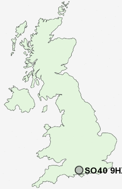
Postcode : SO40 9HX, Totton, Hampshire
School Road, Totton, Southampton.
SO40 9HX close to Eling, Hounsdown and Rushington.
Classification
SO40 9HX : Hard-pressed living / Hard pressed ageing workers / Ageing industrious workers
Local Authority New Forest
Primary Care Trust Hampshire
Ward Totton South
Constituency New Forest East
Region South East
Country England
Postcode Area SO : Southampton
SO40 Postcode Sectors
SO40 7 Ashurst, Foxhills, Netley Marsh, Woodlands
SO40 8 Ashurst Bridge
SO40 2 Bartley, Cadnam, Calmore, Copythorne, Hillstreet
SO40 8 Ashurst Bridge
SO40 2 Bartley, Cadnam, Calmore, Copythorne, Hillstreet
SO40 9HX Nearby Postcode Districts
BH24 BH31 PO14 PO15 PO16 PO17 SO14 SO15 SO16 SO17 SO18 SO19 SO30 SO31 SO32 SO40 SO43 SO45 SO50 SO51 SO52 SO53 SP6
Stations near to SO40 9HX
Totton Rail Station about 0.29 miles away.Redbridge (Hants) Rail Station about 0.73 miles away.
Millbrook (Hants) Rail Station about 2.18 miles away.
Ashurst New Forest Rail Station about 2.5 miles away.
SO40 9HX Schools
Lydlynch Infant SchoolHounsdown School
Redbridge Community School
Redbridge Primary School
Mansel Park Primary School
Hazel Wood Infant School
Foxhills Infant School
Mason Moor Primary School
UK Search
Antique Furniture
1000s of pieces of Antique Furniture for sale from British antique dealers.