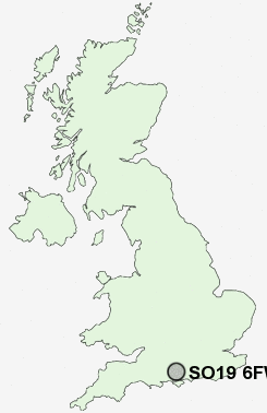
Postcode : SO19 6FW, Thornhill, Southampton, Hampshire
Hinkler Road, Southampton, England.
SO19 6FW close to Thornhill, Hightown, Netley Hill and Weston Common.
Classification
SO19 6FW : Hard-pressed living / Migration and churn / Young hard-pressed families
Local Authority Southampton
Primary Care Trust Southampton City
Ward Bitterne
Constituency Southampton, Itchen
Region South East
Country England
Postcode Area SO : Southampton
SO19 Postcode Sectors
SO19 6 Hightown, Netley Hill, Thornhill
SO19 2 Itchen
SO19 7 Merry Oak, Peartree Green, Sholing Common
SO19 2 Itchen
SO19 7 Merry Oak, Peartree Green, Sholing Common
SO19 6FW Nearby Postcode Districts
GU32 PO10 PO13 PO14 PO15 PO16 PO17 PO2 PO3 PO6 PO7 PO8 PO9 SO14 SO15 SO16 SO17 SO18 SO19 SO30 SO31 SO32 SO40 SO43 SO45 SO50 SO51 SO52 SO53
Stations near to SO19 6FW
Sholing Rail Station about 1.9 miles away.Hedge End Rail Station about 2.05 miles away.
Bursledon Rail Station about 2.16 miles away.
Bitterne Rail Station about 2.19 miles away.
Netley Rail Station about 2.59 miles away.
Hamble Rail Station about 2.77 miles away.
Swaythling Rail Station about 2.95 miles away.
Southampton Airport Parkway Rail Station about 3.12 miles away.
SO19 6FW Schools
Kanes Hill Primary SchoolHightown Primary School
Woodlands Community College
Wildern School
Moorlands Primary School
The Sholing Technology College
St Monica Junior School
Berrywood Primary School
Townhill Infant School
UK Search
Antique Furniture
1000s of pieces of Antique Furniture for sale from British antique dealers.