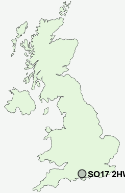
Postcode : SO17 2HW, Southampton
Adelaide Road, Southampton.
SO17 2HW close to Portswood and Highfield.
Classification
SO17 2HW : Multicultural metropolitans / Rented family living / Private renting new arrivals
Local Authority Southampton
Primary Care Trust Southampton City
Ward Portswood
Constituency Southampton, Test
Region South East
Country England
Postcode Area SO : Southampton
SO17 Postcode Sectors
SO17 2HW Nearby Postcode Districts
BH24 PO14 PO15 PO16 PO17 PO6 PO7 PO8 SO14 SO15 SO16 SO17 SO18 SO19 SO30 SO31 SO32 SO40 SO43 SO45 SO50 SO51 SO52 SO53
Stations near to SO17 2HW
Bitterne Rail Station about 0.52 miles away.Southampton Central Rail Station about 1.52 miles away.
Sholing Rail Station about 2 miles away.
Southampton Town Quay about 2.02 miles away.
Millbrook (Hants) Rail Station about 2.15 miles away.
Southampton Airport Parkway Rail Station about 2.26 miles away.
Eastleigh Rail Station about 3.65 miles away.
Netley Rail Station about 3.81 miles away.
SO17 2HW Schools
Bitterne Park SchoolCantell School
Townhill Infant School
Townhill Junior School
Moorlands Primary School
The Sholing Technology College
Hollybrook Junior School
Hollybrook Infant School
UK Search
Antique Furniture
1000s of pieces of Antique Furniture for sale from British antique dealers.