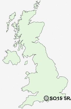
Postcode : SO15 5RA, Upper Shirley, Southampton, Hampshire
Stratton Road, Southampton.
SO15 5RA close to Upper Shirley and Shirley.
Classification
SO15 5RA : Constrained city dwellers / Challenged diversity / Hampered aspiration
Local Authority Southampton
Primary Care Trust Southampton City
Ward Shirley
Constituency Southampton, Test
Region South East
Country England
Postcode Area SO : Southampton
SO15 Postcode Sectors
SO15 5RA Nearby Postcode Districts
BH24 PO14 PO15 PO16 PO17 PO6 PO7 SO14 SO15 SO16 SO17 SO18 SO19 SO30 SO31 SO32 SO40 SO43 SO45 SO50 SO51 SO52 SO53 SP5 SP6
Stations near to SO15 5RA
Millbrook (Hants) Rail Station about 1 miles away.Southampton Central Rail Station about 1.49 miles away.
Redbridge (Hants) Rail Station about 1.75 miles away.
St Denys Rail Station about 1.91 miles away.
Southampton Town Quay about 2.4 miles away.
SO15 5RA Schools
Wordsworth Infant SchoolFoundry Lane Primary School
Shirley Warren Primary & Nursery School
Regents Park Community College
Mason Moor Primary School
Sinclair Primary and Nursery School
Fairisle Infant and Nursery School
Fairisle Junior School
Mansel Park Primary School
Redbridge Primary School
Redbridge Community School
Cantell School
UK Search
Antique Furniture
1000s of pieces of Antique Furniture for sale from British antique dealers.