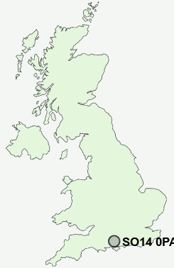
Postcode : SO14 0PA, Southampton
Northam Road, Southampton.
SO14 0PA close to Northam, Southampton and Ocean Village.
Classification
SO14 0PA : Ethnicity central / Ethnic dynamics / Constrained neighbourhoods
Local Authority Southampton
Primary Care Trust Southampton City
Ward Bargate
Constituency Southampton, Itchen
Region South East
Country England
Postcode Area SO : Southampton
SO14 Postcode Sectors
SO14 0PA Nearby Postcode Districts
BH24 PO13 PO14 PO15 PO16 PO17 PO2 PO3 PO6 PO7 PO8 SO14 SO15 SO16 SO17 SO18 SO19 SO30 SO31 SO32 SO40 SO42 SO43 SO45 SO50 SO51 SO52 SO53
Stations near to SO14 0PA
Southampton Central Rail Station about 0.77 miles away.Southampton Town Quay about 0.94 miles away.
St Denys Rail Station about 1.09 miles away.
Bitterne Rail Station about 1.12 miles away.
Sholing Rail Station about 1.53 miles away.
Millbrook (Hants) Rail Station about 1.68 miles away.
Swaythling Rail Station about 2.49 miles away.
Southampton Airport Parkway Rail Station about 3.33 miles away.
SO14 0PA Schools
Beechwood Junior SchoolThe Sholing Technology College
St Monica Junior School
Foundry Lane Primary School
UK Search
Antique Furniture
1000s of pieces of Antique Furniture for sale from British antique dealers.