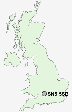
Postcode : SN5 5SB, Nine Elms, Swindon, Wiltshire
Cartwright Drive, Shaw, Swindon.
SN5 5SB close to Nine Elms, Shaw, Roughmoor, Common Platt, Westlea and Grange Park.
Classification
SN5 5SB : Suburbanites / Semi-detached suburbia / White suburban communities
Local Authority Swindon
Primary Care Trust Swindon
Ward Shaw
Constituency South Swindon
Region South West
Country England
Postcode Area SN : Swindon
SN5 Postcode Sectors
SN5 3 Common Platt, Grange Park, Lydiard Green, Lydiard Millicent, Lydiard Tregoze
SN5 8 Freshbrook, Toothill
SN5 4 Hayes Knoll, Purton, Purton Common, Purton Stoke, Restrop
SN5 8 Freshbrook, Toothill
SN5 4 Hayes Knoll, Purton, Purton Common, Purton Stoke, Restrop
SN5 5SB Nearby Postcode Districts
GL8 SN1 SN14 SN15 SN16 SN2 SN25 SN26 SN3 SN4 SN5 SN6 SN7
Stations near to SN5 5SB
Swindon Rail Station about 2.12 miles away.SN5 5SB Schools
Brook Field Primary SchoolShaw Ridge Primary School
Tregoze Primary School
Westlea Primary School
Even Swindon Primary School
Toothill Primary School
Millbrook Primary School
Haydon Wick Primary School
Robert Le Kyng Primary School
Robourne Cheney Primary School
UK Search
Antique Furniture
1000s of pieces of Antique Furniture for sale from British antique dealers.