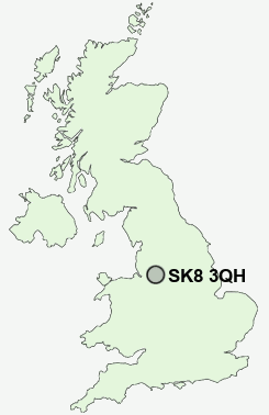
Postcode : SK8 3QH, Cheadle, Stockport, Greater Manchester
Finney Lane, Heald Green, Cheadle.
SK8 3QH close to Gatley and Heald Green.
Classification
SK8 3QH : Suburbanites / Semi-detached suburbia / Multi-ethnic suburbia
Local Authority Stockport
Primary Care Trust Stockport
Ward Heald Green
Constituency Cheadle
Region North West
Country England
Postcode Area SK : Stockport
SK8 Postcode Sectors
SK8 3QH Nearby Postcode Districts
M12 M13 M14 M15 M16 M17 M18 M19 M20 M21 M22 M23 M31 M32 M33 M34 M41 M44 M90 SK1 SK10 SK12 SK13 SK14 SK2 SK22 SK23 SK3 SK4 SK5 SK6 SK7 SK8 SK9 WA1 WA12 WA13 WA14 WA15 WA16 WA2 WA3 WA4 WA5
Stations near to SK8 3QH
Heald Green Rail StationStyal Rail Station about 1.51 miles away.
Manchester Airport Rail Station about 1.53 miles away.
Gatley Rail Station about 1.59 miles away.
Handforth Rail Station about 1.89 miles away.
Cheadle Hulme Rail Station about 2.04 miles away.
East Didsbury Rail Station about 2.78 miles away.
Wilmslow Rail Station about 3.02 miles away.
SK8 3QH Schools
Prospect Vale Primary SchoolBolshaw Primary School
Etchells Primary School
Lum Head Primary School
Outwood Primary School
The Kingsway School
Gatley Primary School
Wilmslow Grange Community Primary and Nursery School
Styal Primary School
UK Search
Antique Furniture
1000s of pieces of Antique Furniture for sale from British antique dealers.