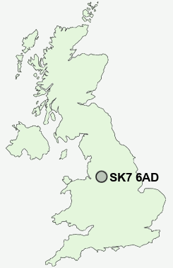
Postcode : SK7 6AD, Bramhall, Stockport, Greater Manchester
Buxton Road, Hazel Grove, Stockport.
SK7 6AD close to Hazel Grove, Torkington, Bramhall Moor, Norbury Moor and Stepping Hill.
Classification
SK7 6AD : Urbanites / Urban professionals and families / Multi-ethnic professionals with families
Local Authority Stockport
Primary Care Trust Stockport
Ward Hazel Grove
Constituency Hazel Grove
Region North West
Country England
Postcode Area SK : Stockport
SK7 Postcode Sectors
SK7 1 Bramhall, Kitt's Moss, Woodford
SK7 5 Bramhall Moor, Norbury Moor
SK7 3 Bramhall Park, Davenport
SK7 5 Bramhall Moor, Norbury Moor
SK7 3 Bramhall Park, Davenport
SK7 6AD Nearby Postcode Districts
M12 M13 M14 M15 M16 M17 M18 M19 M20 M21 M22 M23 M31 M32 M33 M34 M41 M44 M90 S33 SK1 SK10 SK12 SK13 SK14 SK16 SK2 SK22 SK23 SK3 SK4 SK5 SK6 SK7 SK8 SK9 WA13 WA14 WA15 WA16
Stations near to SK7 6AD
Hazel Grove Rail Station about 0.43 miles away.Woodsmoor Rail Station about 1.45 miles away.
Middlewood Rail Station about 1.59 miles away.
Poynton Rail Station about 1.92 miles away.
Davenport Rail Station about 2 miles away.
Rose Hill Marple Rail Station about 2.09 miles away.
Romiley Rail Station about 2.87 miles away.
Bredbury Rail Station about 3.33 miles away.
SK7 6AD Schools
Hazel Grove Primary SchoolMoorfield Primary School
Dial Park Primary School
Great Moor Infant School
Great Moor Junior School
Ladybrook Primary School
Fairway Primary School
Lower Park School
UK Search
Antique Furniture
1000s of pieces of Antique Furniture for sale from British antique dealers.