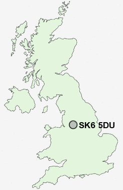
Postcode : SK6 5DU, Marple Bridge, Stockport, Greater Manchester
Lower Fold, Marple Bridge, Stockport.
SK6 5DU close to Marple Bridge, Romiley, Mill Brow, Compstall, Ley Hey Park and Lane Ends.
Classification
SK6 5DU : Urbanites / Urban professionals and families / White professionals
Local Authority Stockport
Primary Care Trust Stockport
Ward Marple North
Constituency Hazel Grove
Region North West
Country England
Postcode Area SK : Stockport
SK6 Postcode Sectors
SK6 2 Arden Park, Bredbury, Castle Hill, Lower Bredbury
SK6 3 Bredbury Green, Bunkers Hill
SK6 6 Chadkirk, Ley Hey Park, Marple
SK6 4 Cherry Tree, Greave, Romiley
SK6 3 Bredbury Green, Bunkers Hill
SK6 6 Chadkirk, Ley Hey Park, Marple
SK6 4 Cherry Tree, Greave, Romiley
SK6 5 Compstall, Lane Ends, Marple Bridge, Mellor, Mill Brow
SK6 7 Hawk Green, Marpleridge, Strines
SK6 8 High Lane, Windlehurst
SK6 1 Woodley
SK6 7 Hawk Green, Marpleridge, Strines
SK6 8 High Lane, Windlehurst
SK6 1 Woodley
SK6 5DU Nearby Postcode Districts
M1 M11 M12 M13 M14 M15 M16 M17 M18 M19 M2 M20 M21 M22 M23 M3 M30 M31 M32 M33 M34 M4 M41 M43 M44 M5 M6 M60 M90 OL6 OL7 S33 SK1 SK12 SK13 SK14 SK15 SK16 SK2 SK22 SK23 SK3 SK4 SK5 SK6 SK7 SK8 SK9 WA14 WA15 WA16
Stations near to SK6 5DU
Marple Rail StationHattersley Rail Station about 3 miles away.
Broadbottom Rail Station about 3.06 miles away.
Disley Rail Station about 3.1 miles away.
Middlewood Rail Station about 3.19 miles away.
New Mills Central Rail Station about 3.27 miles away.
Godley Rail Station about 3.39 miles away.
Hyde Central Rail Station about 3.65 miles away.
SK6 5DU Schools
Ludworth Primary SchoolMellor Primary School
Rose Hill Primary School
The Dale Primary School
Peacefield Primary School
Marple Hall School
Romiley Primary School
UK Search
Antique Furniture
1000s of pieces of Antique Furniture for sale from British antique dealers.