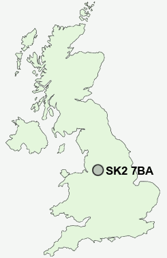
Postcode : SK2 7BA, New Mills, Derbyshire
Belgrave Crescent, Stockport.
SK2 7BA close to Woods Moor, Heaviley, Great Moor and Offerton.
Classification
SK2 7BA : Suburbanites / Semi-detached suburbia / Older workers and retirement
Local Authority Stockport
Primary Care Trust Stockport
Ward Stepping Hill
Constituency Cheadle
Region North West
Country England
Postcode Area SK : Stockport
SK2 Postcode Sectors
SK2 7BA Nearby Postcode Districts
M1 M11 M12 M13 M14 M15 M16 M17 M18 M19 M2 M20 M21 M22 M23 M3 M30 M31 M32 M33 M34 M4 M41 M43 M44 M5 M60 M90 SK1 SK12 SK13 SK14 SK15 SK16 SK2 SK22 SK23 SK3 SK4 SK5 SK6 SK7 SK8 SK9 WA13 WA14 WA15 WA16
Stations near to SK2 7BA
Davenport Rail Station about 0.47 miles away.Hazel Grove Rail Station about 1.1 miles away.
Cheadle Hulme Rail Station about 2.01 miles away.
Bramhall Rail Station about 2.02 miles away.
Poynton Rail Station about 2.57 miles away.
Bredbury Rail Station about 2.82 miles away.
Heaton Chapel Rail Station about 3.03 miles away.
Brinnington Rail Station about 3.12 miles away.
SK2 7BA Schools
Cale Green Primary SchoolMoorfield Primary School
Hazel Grove Primary School
Dial Park Primary School
Fairway Primary School
Pownall Green Primary School
Lane End Primary School
UK Search
Antique Furniture
1000s of pieces of Antique Furniture for sale from British antique dealers.