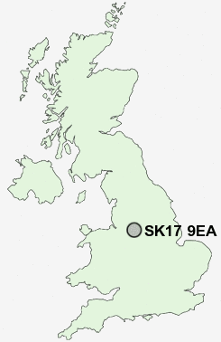
Postcode : SK17 9EA, Burbage, Derbyshire
Buxton, Derbyshire.
SK17 9EA close to Burbage, Canholes, Ladmanlow, Buxton and Harpur Hill.
Classification
SK17 9EA : Suburbanites / Suburban achievers / Ageing in suburbia
Local Authority High Peak
Primary Care Trust Derbyshire County
Ward Temple
Constituency High Peak
Region East Midlands
Country England
Postcode Area SK : Stockport
SK17 Postcode Sectors
SK17 0 Biggin, Brund, Colshaw, Crowdicote, Earl Sterndale
SK17 9 Blackwell, Brushfield, Burbage, Chelmorton, Cowlow
SK17 7 Buxton, Fairfield, Tomthorn
SK17 9 Blackwell, Brushfield, Burbage, Chelmorton, Cowlow
SK17 7 Buxton, Fairfield, Tomthorn
SK17 9EA Nearby Postcode Districts
CW12 DE45 S17 S32 S33 SK10 SK11 SK17 SK23 SK9
Stations near to SK17 9EA
Buxton Rail Station about 0.78 miles away.Dove Holes Rail Station about 3.65 miles away.
SK17 9EA Schools
Buxton Community SchoolBuxton Junior School
Burbage Primary School
Buxton Infant School
Harpur Hill Primary School
St Thomas More Catholic School Buxton
St Anne's Catholic Primary School
Fairfield Infant and Nursery School
Fairfield Endowed CofE (C) Junior School
UK Search
Antique Furniture
1000s of pieces of Antique Furniture for sale from British antique dealers.