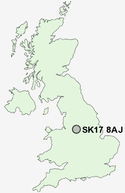
Postcode : SK17 8AJ, Upper End, Derbyshire
School Road, Peak Dale, Buxton.
SK17 8AJ close to Upper End, Peak Dale, Smalldale and Tomthorn.
Classification
SK17 8AJ : Hard-pressed living / Industrious communities / Industrious transitions
Local Authority High Peak
Primary Care Trust Derbyshire County
Ward Limestone Peak
Constituency High Peak
Region East Midlands
Country England
Postcode Area SK : Stockport
SK17 Postcode Sectors
SK17 0 Biggin, Brund, Colshaw, Crowdicote, Earl Sterndale
SK17 9 Blackwell, Brushfield, Burbage, Chelmorton, Cowlow
SK17 7 Buxton, Fairfield, Tomthorn
SK17 9 Blackwell, Brushfield, Burbage, Chelmorton, Cowlow
SK17 7 Buxton, Fairfield, Tomthorn
SK17 8AJ Nearby Postcode Districts
DE45 S10 S11 S17 S18 S32 S33 S7 S8 SK10 SK11 SK12 SK17 SK22 SK23 SK7 SK8 SK9
Stations near to SK17 8AJ
Dove Holes Rail Station about 1.33 miles away.Buxton Rail Station about 2.43 miles away.
Chapel-en-le-Frith Rail Station about 2.76 miles away.
SK17 8AJ Schools
Peak Dale Primary SchoolDove Holes CofE Primary School
UK Search
Antique Furniture
1000s of pieces of Antique Furniture for sale from British antique dealers.