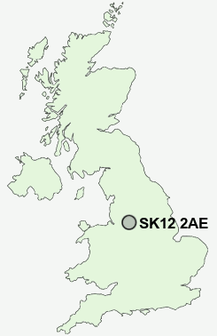
Postcode : SK12 2AE, Danebank, Cheshire East, Cheshire
Buxton Road West, Disley, Stockport.
SK12 2AE close to Danebank, Higher Disley, Woodend and Lane Ends.
Classification
SK12 2AE : Suburbanites / Suburban achievers / Ageing in suburbia
Local Authority Cheshire East
Primary Care Trust Central and Eastern Cheshire
Ward Disley
Constituency Macclesfield
Region North West
Country England
Postcode Area SK : Stockport
SK12 Postcode Sectors
SK12 2AE Nearby Postcode Districts
M14 M16 M19 M20 M21 M22 M23 M31 M32 M33 M34 M41 M44 M90 S33 SK1 SK10 SK12 SK13 SK14 SK2 SK22 SK23 SK3 SK4 SK5 SK6 SK7 SK8 SK9 WA14 WA15 WA16
Stations near to SK12 2AE
Disley Rail StationStrines Rail Station about 1.22 miles away.
New Mills Newtown Rail Station about 1.4 miles away.
New Mills Central Rail Station about 1.59 miles away.
Middlewood Rail Station about 1.69 miles away.
Rose Hill Marple Rail Station about 2.98 miles away.
Marple Rail Station about 3 miles away.
SK12 2AE Schools
Disley Primary SchoolHague Bar Primary School
Brookside Primary School
High Lane Primary School
Newtown Primary School
St Mary's Catholic Primary
UK Search
Antique Furniture
1000s of pieces of Antique Furniture for sale from British antique dealers.