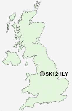
Postcode : SK12 1LY, Wardsend, Cheshire East, Cheshire
Marley Road, Poynton, Stockport.
SK12 1LY close to Wardsend, Hockley, Poynton and Newtown.
Classification
SK12 1LY : Suburbanites / Semi-detached suburbia / Multi-ethnic suburbia
Local Authority Cheshire East
Primary Care Trust Central and Eastern Cheshire
Ward Poynton West and Adlington
Constituency Macclesfield
Region North West
Country England
Postcode Area SK : Stockport
SK12 Postcode Sectors
SK12 1LY Nearby Postcode Districts
CW9 M19 M20 M21 M22 M23 M31 M33 M44 M90 S33 SK1 SK10 SK11 SK12 SK17 SK2 SK22 SK23 SK3 SK4 SK5 SK6 SK7 SK8 SK9 WA13 WA14 WA15 WA16
Stations near to SK12 1LY
Poynton Rail Station about 0.76 miles away.Adlington (Cheshire) Rail Station about 1.72 miles away.
Middlewood Rail Station about 1.92 miles away.
Bramhall Rail Station about 2.15 miles away.
Hazel Grove Rail Station about 2.37 miles away.
Woodsmoor Rail Station about 3.12 miles away.
Davenport Rail Station about 3.56 miles away.
Prestbury Rail Station about 3.6 miles away.
SK12 1LY Schools
Poynton High SchoolWorth Primary School
Lower Park School
Lostock Hall Primary School
Queensgate Primary School
Adlington Primary School
UK Search
Antique Furniture
1000s of pieces of Antique Furniture for sale from British antique dealers.