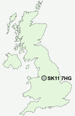
Postcode : SK11 7HG, Macclesfield, Cheshire East, Cheshire
Waterside, Macclesfield.
SK11 7HG close to Macclesfield, Gurnett and Sutton Lane Ends.
Classification
SK11 7HG : Multicultural metropolitans / Rented family living / Private renting new arrivals
Local Authority Cheshire East
Primary Care Trust Central and Eastern Cheshire
Ward Macclesfield Central
Constituency Macclesfield
Region North West
Country England
Postcode Area SK : Stockport
SK11 Postcode Sectors
SK11 0 Allgreave, Bosley, Calrofold, Danebridge, Danes Moss
SK11 8 Broken Cross, Weston
SK11 9 Chelford, Fanshawe, Gawsworth, Gleadmoss, Hodgehill
SK11 8 Broken Cross, Weston
SK11 9 Chelford, Fanshawe, Gawsworth, Gleadmoss, Hodgehill
SK11 7HG Nearby Postcode Districts
CW10 CW12 CW4 CW9 S33 SK10 SK11 SK12 SK17 SK23 SK9 WA16
Stations near to SK11 7HG
Macclesfield Rail Station about 0.32 miles away.Prestbury Rail Station about 2.86 miles away.
SK11 7HG Schools
Puss Bank SchoolParkroyal Community School
Macclesfield High School
Ash Grove Primary and Nursery School
Tytherington High School
Hurdsfield Community Primary School
Ivy Bank Primary School
Hollinhey Primary School
The Marlborough Primary School
Upton Priory School
UK Search
Antique Furniture
1000s of pieces of Antique Furniture for sale from British antique dealers.