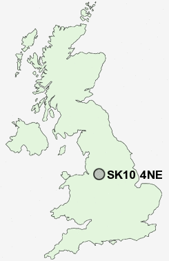
Postcode : SK10 4NE, Adlington, Cheshire East, Cheshire
Legh Road, Adlington, Macclesfield.
Classification
SK10 4NE : Rural residents / Farming communities / Established farming communities
Local Authority Cheshire East
Primary Care Trust Central and Eastern Cheshire
Ward Poynton West and Adlington
Constituency Macclesfield
Region North West
Country England
Postcode Area SK : Stockport
SK10 Postcode Sectors
SK10 4 Adlington, Astle, Booth Green, Bradley Mount, Butley Town
SK10 5 Bollington, Bollington Cross, Brookhouse, Clark Green, Ginclough
SK10 5 Bollington, Bollington Cross, Brookhouse, Clark Green, Ginclough
SK10 4NE Nearby Postcode Districts
CW9 M22 M23 M90 SK1 SK10 SK11 SK12 SK17 SK2 SK22 SK23 SK3 SK6 SK7 SK8 SK9 WA13 WA14 WA15 WA16
Stations near to SK10 4NE
Adlington (Cheshire) Rail StationPrestbury Rail Station about 1.84 miles away.
Poynton Rail Station about 2.18 miles away.
Bramhall Rail Station about 3.16 miles away.
Middlewood Rail Station about 3.49 miles away.
SK10 4NE Schools
Adlington Primary SchoolSt Paul's Catholic Primary School
Dean Valley Community Primary School
St Gregory's Catholic Primary School
Poynton High School
UK Search
Antique Furniture
1000s of pieces of Antique Furniture for sale from British antique dealers.