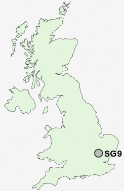
Postcode : SG9 9DT, Buntingford, Hertfordshire
Buntingford, Hertfordshire.
SG9 9DT close to Buntingford, Aspenden and Westmill.
Classification
SG9 9DT : Urbanites / Urban professionals and families / White professionals
Local Authority East Hertfordshire
Primary Care Trust Hertfordshire
Ward Buntingford
Constituency North East Hertfordshire
Region Eastern
Country England
Postcode Area SG : Stevenage
SG9 Postcode Sectors
SG9 9DT Nearby Postcode Districts
CB10 CB11 CM22 CM23 CM24 CM6 LU2 SG1 SG10 SG11 SG15 SG16 SG17 SG2 SG3 SG4 SG5 SG6 SG7 SG9
SG9 9DT Schools
Millfield First and Nursery SchoolEdwinstree Church of England Middle School
Layston Church of England First School
Freman College
UK Search
Antique Furniture
1000s of pieces of Antique Furniture for sale from British antique dealers.