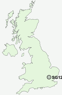
Postcode : SG12 0UQ, Ware, Hertfordshire
Ware, Hertfordshire, England.
Classification
SG12 0UQ : Rural residents / Rural tenants / Rural white-collar workers
Local Authority East Hertfordshire
Primary Care Trust Hertfordshire
Ward Hunsdon
Constituency Hertford and Stortford
Region Eastern
Country England
Postcode Area SG : Stevenage
SG12 Postcode Sectors
SG12 7 Babbs Green, Bakers End, Cold Christmas, Helham Green, Nobland Green
SG12 0 Chapmore End, Dane End, Green End, Sacombe, Sacombe Green
SG12 0 Chapmore End, Dane End, Green End, Sacombe, Sacombe Green
SG12 9 Great Amwell, Presdales, Rush Green
SG12 8 Hunsdon, Hunsdonbury, St Margarets, Stanstead Abbotts, Widford
SG12 8 Hunsdon, Hunsdonbury, St Margarets, Stanstead Abbotts, Widford
SG12 0UQ Nearby Postcode Districts
AL1 AL10 AL3 AL4 AL5 AL6 AL7 AL8 AL9 CM17 CM18 CM19 CM20 CM21 CM22 CM23 CM24 EN10 EN11 LU1 LU2 SG1 SG10 SG11 SG12 SG13 SG14 SG2 SG3 SG4
Stations near to SG12 0UQ
Ware Rail Station about 1.15 miles away.Hertford East Rail Station about 2.42 miles away.
St Margarets (Herts) Rail Station about 2.93 miles away.
SG12 0UQ Schools
Kingshill Infant SchoolTower Primary School
The Chauncy School
Christ Church CofE (VA) Primary School and Nursery, Ware
Priors Wood Primary School
Sacred Heart Catholic Primary School
Presdales School
Puller Memorial, Church of England, Voluntary Aided Primary School
UK Search
Antique Furniture
1000s of pieces of Antique Furniture for sale from British antique dealers.