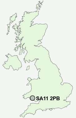
Postcode : SA11 2PB, Briton Ferry, Neath Port Talbot
Rockingham Terrace, Briton Ferry, Neath.
SA11 2PB close to Briton Ferry, Pencaerau and Ynysmaerdy.
Classification
SA11 2PB : Hard-pressed living / Challenged terraced workers / Deprived blue-collar terraces
Local Authority Neath Port Talbot
Primary Care Trust Abertawe Bro Morgannwg University Health Board
Ward Briton Ferry East
Constituency Aberavon
Region Wales
Country Wales
Postcode Area SA : Swansea
SA11 Postcode Sectors
SA11 3 Aberdulais, Cimla, Gelli-gaer, Llantwit, Tonna
SA11 4 Abergarwed, Clyne, Glyn Castle, Melincourt, Resolven
SA11 5 Blaengwrach, Cwmgwrach, Glyn-neath, Morfa Glas, Pen-common
SA11 4 Abergarwed, Clyne, Glyn Castle, Melincourt, Resolven
SA11 5 Blaengwrach, Cwmgwrach, Glyn-neath, Morfa Glas, Pen-common
SA11 2PB Nearby Postcode Districts
CF32 CF34 CF39 CF40 CF41 CF42 CF43 CF44 SA1 SA10 SA11 SA12 SA13 SA14 SA15 SA2 SA3 SA4 SA5 SA6 SA7 SA8
Stations near to SA11 2PB
Briton Ferry Rail StationBaglan Rail Station about 1.54 miles away.
Neath Rail Station about 1.81 miles away.
Skewen Rail Station about 2.04 miles away.
Port Talbot Parkway Rail Station about 3.54 miles away.
UK Search
Antique Furniture
1000s of pieces of Antique Furniture for sale from British antique dealers.