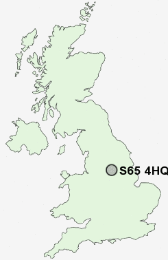
Postcode : S65 4HQ, Dalton, Rotherham, South Yorkshire
Foljambe Drive, Dalton, Rotherham.
S65 4HQ close to Dalton, Whinney Hill, Dalton Magna, Dalton Parva, East Herringthorpe and Thrybergh.
Classification
S65 4HQ : Hard-pressed living / Industrious communities / Industrious hardship
Local Authority Rotherham
Primary Care Trust Rotherham
Ward Valley
Constituency Rotherham
Region Yorkshire and The Humber
Country England
Postcode Area S : Sheffield
S65 Postcode Sectors
S65 3 Aldwarke, Brecks, Dalton, Dalton Magna, Dalton Parva
S65 2 Clifton, East Dene, Herringthorpe, Rotherham
S65 2 Clifton, East Dene, Herringthorpe, Rotherham
S65 4HQ Nearby Postcode Districts
DN1 DN10 DN11 DN12 DN2 DN4 DN5 S1 S10 S11 S12 S13 S14 S2 S25 S26 S3 S35 S36 S4 S5 S6 S60 S61 S62 S63 S64 S65 S66 S7 S70 S73 S74 S9
Stations near to S65 4HQ
Swinton (South Yorks) Rail Station about 3 miles away.Mexborough Rail Station about 3.42 miles away.
S65 4HQ Schools
Dalton Foljambe Primary SchoolThrybergh Comprehensive School
Flanderwell Primary School
Clifton Community School
Dalton Listerdale Junior and Infant School
Bramley Sunnyside Junior School
Rawmarsh Ashwood Junior and Infant School
UK Search
Antique Furniture
1000s of pieces of Antique Furniture for sale from British antique dealers.