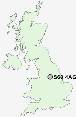
Postcode : S60 4AG, Whiston, Rotherham, South Yorkshire
Hall Close Avenue, Whiston, Rotherham.
S60 4AG close to Whiston, Moorgate, Guilthwaite, Upper Whiston and Broom.
Classification
S60 4AG : Suburbanites / Semi-detached suburbia / Semi-detached ageing
Local Authority Rotherham
Primary Care Trust Rotherham
Ward Sitwell
Constituency Rother Valley
Region Yorkshire and The Humber
Country England
Postcode Area S : Sheffield
S60 Postcode Sectors
S60 4AG Nearby Postcode Districts
DN10 DN11 DN12 DN22 DN4 S1 S10 S11 S12 S13 S14 S17 S2 S20 S21 S25 S26 S3 S35 S36 S4 S5 S6 S60 S61 S62 S64 S65 S66 S7 S74 S8 S81 S9
Stations near to S60 4AG
Rotherham Central Rail Station about 2.38 miles away.Woodhouse Rail Station about 3.58 miles away.
S60 4AG Schools
Whiston Worry Goose Junior and Infant SchoolWhiston Junior and Infant School
Dalton Listerdale Junior and Infant School
Oakwood Technology College
Broom Valley Community School
Badsley Moor Junior School
Badsley Primary School
Wickersley Northfield Primary School
Clifton Community School
UK Search
Antique Furniture
1000s of pieces of Antique Furniture for sale from British antique dealers.