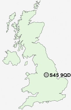
Postcode : S45 9QD, Clay Cross, Derbyshire
Holmgate Road, Clay Cross, Chesterfield.
Classification
S45 9QD : Rural residents / Ageing rural dwellers / Renting rural retirement
Local Authority North East Derbyshire
Primary Care Trust Derbyshire County
Ward Clay Cross North
Constituency North East Derbyshire
Region East Midlands
Country England
Postcode Area S : Sheffield
S45 Postcode Sectors
S45 0 Ashover, Ashover Hay, Brockhurst, Butterley, Fallgate
S45 8 Astwith, Common End, Hardstoft, Hardstoft Common, Lower Pilsley
S45 8 Astwith, Common End, Hardstoft, Hardstoft Common, Lower Pilsley
S45 9QD Nearby Postcode Districts
DE4 DE45 DE55 NG17 NG18 NG19 NG20 NG21 S40 S41 S42 S43 S44 S45
S45 9QD Schools
Holmgate Primary School and NurseryClay Cross Junior School
Clay Cross Infant School
Danesmoor Infant School
Tupton Hall School
Tupton Primary and Nursery School
UK Search
Antique Furniture
1000s of pieces of Antique Furniture for sale from British antique dealers.