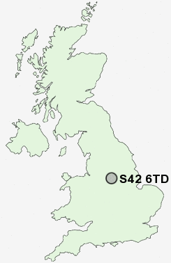
Postcode : S42 6TD, Wingerworth, Derbyshire
New Road, Wingerworth, Chesterfield.
S42 6TD close to Wingerworth, Swathwick and Nether Moor.
Classification
S42 6TD : Suburbanites / Suburban achievers / Detached retirement living
Local Authority North East Derbyshire
Primary Care Trust Derbyshire County
Ward Wingerworth
Constituency North East Derbyshire
Region East Midlands
Country England
Postcode Area S : Sheffield
S42 Postcode Sectors
S42 6 Alton, Nether Moor, Northedge, Old Tupton, Press
S42 5 Corbriggs, Grassmoor, Hepthorne Lane, Highfields, Holmewood
S42 5 Corbriggs, Grassmoor, Hepthorne Lane, Highfields, Holmewood
S42 6TD Nearby Postcode Districts
DE4 DE45 DE55 NG17 NG18 NG19 NG20 NG21 S18 S32 S40 S41 S42 S43 S44 S45 S80
Stations near to S42 6TD
Chesterfield Rail Station about 2.79 miles away.S42 6TD Schools
Deer Park Primary SchoolSpire Nursery and Infant School
Tupton Primary and Nursery School
Whitecotes Primary School
Tupton Hall School
Spire Junior School
Hasland Infant School
Hasland Junior School
UK Search
Antique Furniture
1000s of pieces of Antique Furniture for sale from British antique dealers.