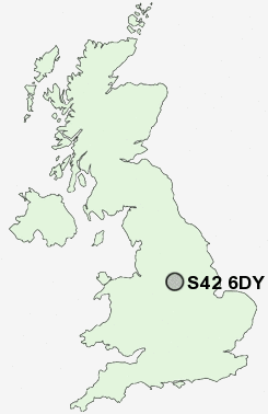
Postcode : S42 6DY, Tupton, Derbyshire
Queen Victoria Road, New Tupton, Chesterfield.
S42 6DY close to Tupton, Nether Moor, Old Tupton and Grassmoor.
Classification
S42 6DY : Suburbanites / Semi-detached suburbia / Older workers and retirement
Local Authority North East Derbyshire
Primary Care Trust Derbyshire County
Ward Tupton
Constituency North East Derbyshire
Region East Midlands
Country England
Postcode Area S : Sheffield
S42 Postcode Sectors
S42 6 Alton, Nether Moor, Northedge, Old Tupton, Press
S42 5 Corbriggs, Grassmoor, Hepthorne Lane, Highfields, Holmewood
S42 5 Corbriggs, Grassmoor, Hepthorne Lane, Highfields, Holmewood
S42 6DY Nearby Postcode Districts
DE4 DE45 DE55 NG17 NG18 NG19 NG20 NG21 S40 S41 S42 S43 S44 S45
Stations near to S42 6DY
Chesterfield Rail Station about 3.3 miles away.S42 6DY Schools
Tupton Primary and Nursery SchoolTupton Hall School
Deincourt Community School
North Wingfield Primary and Nursery School
Deer Park Primary School
Hasland Junior School
Hasland Hall Community School
UK Search
Antique Furniture
1000s of pieces of Antique Furniture for sale from British antique dealers.