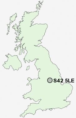
Postcode : S42 5LE, North Wingfield, Derbyshire
Chesterfield Road, North Wingfield, Chesterfield.
S42 5LE close to North Wingfield, Grassmoor, Hepthorne Lane, Highfields and Williamthorpe.
Classification
S42 5LE : Hard-pressed living / Hard pressed ageing workers / Ageing industrious workers
Local Authority North East Derbyshire
Primary Care Trust Derbyshire County
Ward North Wingfield Central
Constituency North East Derbyshire
Region East Midlands
Country England
Postcode Area S : Sheffield
S42 Postcode Sectors
S42 6 Alton, Nether Moor, Northedge, Old Tupton, Press
S42 5 Corbriggs, Grassmoor, Hepthorne Lane, Highfields, Holmewood
S42 5 Corbriggs, Grassmoor, Hepthorne Lane, Highfields, Holmewood
S42 5LE Nearby Postcode Districts
DE4 DE45 DE55 NG17 NG18 NG19 NG20 NG21 S40 S41 S42 S43 S44 S45
S42 5LE Schools
North Wingfield Primary and Nursery SchoolDeincourt Community School
Tupton Hall School
Tupton Primary and Nursery School
Temple Normanton Primary School
Park House Primary School
UK Search
Antique Furniture
1000s of pieces of Antique Furniture for sale from British antique dealers.