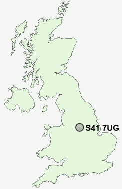
Postcode : S41 7UG, Chesterfield, Derbyshire
Brimington Road, Chesterfield.
S41 7UG close to Chesterfield, Stonegravels, Hady and Tapton.
Classification
S41 7UG : Constrained city dwellers / Challenged diversity / Hampered aspiration
Local Authority Chesterfield
Primary Care Trust Derbyshire County
Ward St Leonard's
Constituency Chesterfield
Region East Midlands
Country England
Postcode Area S : Sheffield
S41 Postcode Sectors
S41 0 Hady, Hasland, Tapton, Temple Normanton, Winsick
S41 9 Old Whittington, Sheepbridge, The Brushes, Upper Newbold, Whittington Moor
S41 9 Old Whittington, Sheepbridge, The Brushes, Upper Newbold, Whittington Moor
S41 7UG Nearby Postcode Districts
DE45 NG19 NG20 NG21 S17 S18 S20 S21 S32 S40 S41 S42 S43 S44 S45 S80 S81
Stations near to S41 7UG
Chesterfield Rail StationS41 7UG Schools
Parkside Community SchoolSpire Junior School
Newbold Community School
Brockwell Nursery and Infant School
Whitecotes Primary School
Spire Nursery and Infant School
Hasland Hall Community School
Gilbert Heathcote Nursery and Infant School
Cavendish Junior School
Dunston Primary and Nursery School
UK Search
Antique Furniture
1000s of pieces of Antique Furniture for sale from British antique dealers.