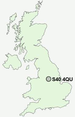
Postcode : S40 4QU, Ashgate, Derbyshire
Cuttholme Road, Chesterfield.
S40 4QU close to Ashgate, Loundsley Green, Brampton and Brookside.
Classification
S40 4QU : Hard-pressed living / Hard pressed ageing workers / Renting hard-pressed workers
Local Authority Chesterfield
Primary Care Trust Derbyshire County
Ward Loundsley Green
Constituency Chesterfield
Region East Midlands
Country England
Postcode Area S : Sheffield
S40 Postcode Sectors
S40 4QU Nearby Postcode Districts
DE45 NG19 NG20 S17 S18 S20 S21 S32 S33 S40 S41 S42 S43 S44 S45 S8 S80 S81
Stations near to S40 4QU
Chesterfield Rail Station about 1.67 miles away.S40 4QU Schools
Brockwell Nursery and Infant SchoolHolme Hall Primary School
Westfield Infant School
Brookfield Community School
Dunston Primary and Nursery School
Newbold Community School
Parkside Community School
Whitecotes Primary School
Cavendish Junior School
Walton Holymoorside Primary School
Spire Junior School
UK Search
Antique Furniture
1000s of pieces of Antique Furniture for sale from British antique dealers.