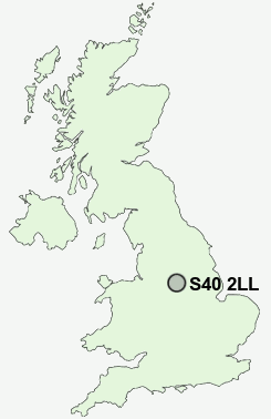
Postcode : S40 2LL, Boythorpe, Derbyshire
Park Road, Chesterfield.
S40 2LL close to Boythorpe, Birdholme and Brampton.
Classification
S40 2LL : Hard-pressed living / Migration and churn / Young hard-pressed families
Local Authority Chesterfield
Primary Care Trust Derbyshire County
Ward St Leonard's
Constituency Chesterfield
Region East Midlands
Country England
Postcode Area S : Sheffield
S40 Postcode Sectors
S40 2LL Nearby Postcode Districts
DE45 NG18 NG19 NG20 NG21 S17 S18 S21 S32 S40 S41 S42 S43 S44 S45 S80
Stations near to S40 2LL
Chesterfield Rail Station about 0.79 miles away.S40 2LL Schools
Parkside Community SchoolWhitecotes Primary School
Brockwell Nursery and Infant School
Hasland Hall Community School
Westfield Infant School
Newbold Community School
Brookfield Community School
Holme Hall Primary School
UK Search
Antique Furniture
1000s of pieces of Antique Furniture for sale from British antique dealers.