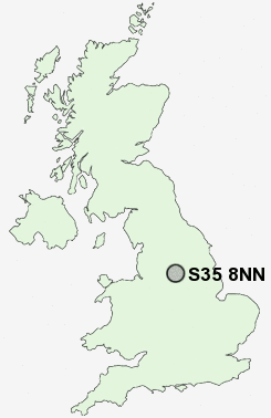
Postcode : S35 8NN, Grenoside, Sheffield, South Yorkshire
Creswick Lane, Grenoside, Sheffield.
S35 8NN close to Grenoside and Whitley.
Classification
S35 8NN : Suburbanites / Semi-detached suburbia / Semi-detached ageing
Local Authority Sheffield
Primary Care Trust Sheffield
Ward Southey
Constituency Sheffield, Brightside and Hillsborough
Region Yorkshire and The Humber
Country England
Postcode Area S : Sheffield
S35 Postcode Sectors
S35 8 Barnes Hall, Grenoside, Whitley, Wood Seats
S35 0 Brightholmlee, Foldrings, Middlewood, Onesacre, Oughtibridge
S35 7 Bromley, Crane Moor, Cundy Hos, Eastfield, Finkle Street
S35 2 Burncross, Chapeltown, Charltonbrook, Hood Hill, Lane End
S35 0 Brightholmlee, Foldrings, Middlewood, Onesacre, Oughtibridge
S35 7 Bromley, Crane Moor, Cundy Hos, Eastfield, Finkle Street
S35 2 Burncross, Chapeltown, Charltonbrook, Hood Hill, Lane End
S35 8NN Nearby Postcode Districts
DN1 DN12 DN2 DN4 S1 S10 S11 S12 S13 S14 S2 S25 S26 S3 S33 S35 S36 S4 S5 S6 S60 S61 S62 S63 S64 S65 S66 S7 S73 S74 S8 S81 S9
Stations near to S35 8NN
Chapeltown Rail Station about 2.03 miles away.S35 8NN Schools
Yewlands School Technology CollegeGrenoside Community Primary School
Southey Green Community Primary School and Nurseries
Ecclesfield School
Hartley Brook Primary School
Coit Primary School
Beck Primary School
Windmill Hill Primary School
UK Search
Antique Furniture
1000s of pieces of Antique Furniture for sale from British antique dealers.