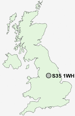
Postcode : S35 1WH, Chapeltown, Sheffield, South Yorkshire
Park Avenue, Chapeltown, Sheffield.
S35 1WH close to Chapeltown, Lane End, Burncross, Charltonbrook, Ecclesfield and Whitley.
Classification
S35 1WH : Suburbanites / Semi-detached suburbia / Older workers and retirement
Local Authority Sheffield
Primary Care Trust Sheffield
Ward East Ecclesfield
Constituency Penistone and Stocksbridge
Region Yorkshire and The Humber
Country England
Postcode Area S : Sheffield
S35 Postcode Sectors
S35 8 Barnes Hall, Grenoside, Whitley, Wood Seats
S35 0 Brightholmlee, Foldrings, Middlewood, Onesacre, Oughtibridge
S35 7 Bromley, Crane Moor, Cundy Hos, Eastfield, Finkle Street
S35 2 Burncross, Chapeltown, Charltonbrook, Hood Hill, Lane End
S35 0 Brightholmlee, Foldrings, Middlewood, Onesacre, Oughtibridge
S35 7 Bromley, Crane Moor, Cundy Hos, Eastfield, Finkle Street
S35 2 Burncross, Chapeltown, Charltonbrook, Hood Hill, Lane End
S35 1WH Nearby Postcode Districts
DN1 DN11 DN12 DN2 DN4 DN5 S1 S10 S11 S13 S2 S25 S26 S3 S35 S36 S4 S5 S6 S60 S61 S62 S63 S64 S65 S66 S70 S73 S74 S9
Stations near to S35 1WH
Chapeltown Rail Station about 0.44 miles away.Elsecar Rail Station about 3.41 miles away.
S35 1WH Schools
Coit Primary SchoolWindmill Hill Primary School
Ecclesfield School
Lound Junior School
Greengate Lane Primary School
High Green Primary School
Grenoside Community Primary School
Yewlands School Technology College
Beck Primary School
UK Search
Antique Furniture
1000s of pieces of Antique Furniture for sale from British antique dealers.