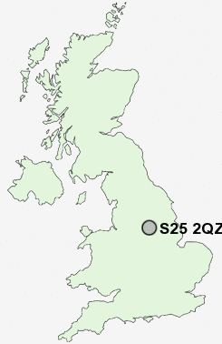
Postcode : S25 2QZ, Dinnington, Rotherham, South Yorkshire
Park Avenue, Dinnington, Sheffield.
S25 2QZ close to Dinnington and North Anston.
Classification
S25 2QZ : Suburbanites / Semi-detached suburbia / Older workers and retirement
Local Authority Rotherham
Primary Care Trust Rotherham
Ward Dinnington
Constituency Rother Valley
Region Yorkshire and The Humber
Country England
Postcode Area S : Sheffield
S25 Postcode Sectors
S25 1 Brookhouse, Laughton en le Morthen, Slade Hooton
S25 2 Dinnington, Throapham
S25 3 Laughton Common
S25 2 Dinnington, Throapham
S25 3 Laughton Common
S25 2QZ Nearby Postcode Districts
DN10 DN11 DN22 S1 S10 S11 S12 S13 S14 S17 S18 S2 S20 S21 S25 S26 S3 S35 S4 S43 S5 S6 S60 S61 S65 S66 S7 S8 S80 S81 S9
Stations near to S25 2QZ
Kiveton Park Rail Station about 2.14 miles away.Shireoaks Rail Station about 3.18 miles away.
S25 2QZ Schools
Anston Park Junior SchoolAnston Park Infant School
St Joseph's Catholic Primary School
Anston Greenlands Junior and Infant School
Dinnington Community Primary School
Anston Brook Primary School
Dinnington Comprehensive Specialising in Science and Engineering
Anston Hillcrest Primary School
Laughton Junior and Infant School
Laughton All Saints CofE Primary School
UK Search
Antique Furniture
1000s of pieces of Antique Furniture for sale from British antique dealers.