Postcode : S13 9AT, Handsworth, Sheffield, South Yorkshire
Saint Joseph's Road, Sheffield.
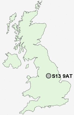
S13 9AT close to Handsworth, Richmond and Woodhouse.
Classification
S13 9AT : Constrained city dwellers / Challenged diversity / Hampered aspiration
Local Authority Sheffield
Primary Care Trust Sheffield
Ward Woodhouse
Constituency Sheffield South East
Region Yorkshire and The Humber
Country England
Postcode Area S : Sheffield
S13 Postcode Sectors
S13 9AT Nearby Postcode Districts
DN11 S1 S10 S11 S12 S13 S14 S17 S18 S2 S20 S21 S25 S26 S3 S32 S33 S35 S4 S5 S6 S60 S61 S62 S65 S66 S7 S8 S80 S81 S9
Stations near to S13 9AT
Woodhouse Rail Station about 1.29 miles away.Darnall Rail Station about 1.41 miles away.
Meadowhall Rail Station about 3.34 miles away.
S13 9AT Schools
Ballifield Primary SchoolHandsworth Grange Community Sports College
Athelstan Primary School
Stradbroke Primary School
The City School
Pipworth Community Primary School
Acres Hill Community Primary School
UK Search
Antique Furniture
1000s of pieces of Antique Furniture for sale from British antique dealers.