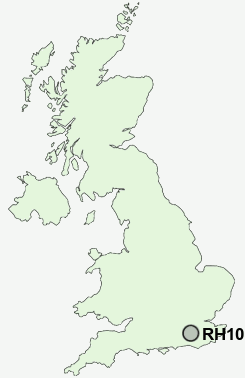
Postcode : RH10 8DX, Crawley, West Sussex
Crawley, West Sussex.
RH10 8DX close to Crawley, Northgate and Three Bridges.
Classification
RH10 8DX : Multicultural metropolitans / Challenged Asian terraces / Asian terraces and flats
Local Authority Crawley
Primary Care Trust West Sussex
Ward Northgate
Constituency Crawley
Region South East
Country England
Postcode Area RH : Redhill
RH10 Postcode Sectors
RH10 3 Black Corner, Copthorne, Domewood
RH10 4 Crabbet Park, Crawley Down, Down Park, Turners Hill, Worth Abbey
RH10 1 Crawley, Three Bridges
RH10 6 Furnace Green
RH10 4 Crabbet Park, Crawley Down, Down Park, Turners Hill, Worth Abbey
RH10 1 Crawley, Three Bridges
RH10 6 Furnace Green
RH10 8DX Nearby Postcode Districts
GU5 GU6 RH10 RH11 RH12 RH13 RH14 RH18 RH19 RH5 RH6 RH7 TN6 TN7 TN8
Stations near to RH10 8DX
Crawley Rail Station about 0.69 miles away.Three Bridges Rail Station about 1.02 miles away.
Ifield Rail Station about 1.44 miles away.
Gatwick Airport Rail Station about 2.57 miles away.
Horley Rail Station about 3.37 miles away.
RH10 8DX Schools
Northgate Primary SchoolThree Bridges Junior School
Three Bridges Primary School
West Green Primary School
Milton Mount Primary School
Pound Hill Infant School
Pound Hill Junior School, Crawley
Broadfield East Infant School and Nursery
Broadfield East Junior School
Seymour Primary School
UK Search
Antique Furniture
1000s of pieces of Antique Furniture for sale from British antique dealers.