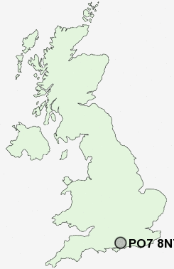
Postcode : PO7 8NT, Waterlooville, Hampshire
Waterlooville, Hampshire.
Classification
PO7 8NT : Suburbanites / Semi-detached suburbia / Semi-detached ageing
Local Authority Havant
Primary Care Trust Hampshire
Ward Waterloo
Constituency Meon Valley
Region South East
Country England
Postcode Area PO : Portsmouth
PO7 Postcode Sectors
PO7 6 Anthill Common, Denmead, Forest Gate, Furzeley Corner, Mead End
PO7 4 Chidden, Hambledon, Hoe Gate, Rushmere, Worlds End
PO7 4 Chidden, Hambledon, Hoe Gate, Rushmere, Worlds End
PO7 8NT Nearby Postcode Districts
GU29 PO1 PO10 PO11 PO12 PO13 PO14 PO15 PO16 PO17 PO18 PO19 PO2 PO22 PO3 PO4 PO5 PO6 PO7 PO8 PO9 SO14 SO17 SO18 SO19 SO30 SO31 SO32 SO45 SO50 SO53
Stations near to PO7 8NT
Bedhampton Rail Station about 2.47 miles away.Havant Rail Station about 2.71 miles away.
Warblington Rail Station about 3.13 miles away.
PO7 8NT Schools
Queen's Inclosure Primary SchoolHart Plain Junior School
Springwood Junior School
Park Community School
Purbrook Junior School
Purbrook Infant School
Horndean Technology College
UK Search
Antique Furniture
1000s of pieces of Antique Furniture for sale from British antique dealers.