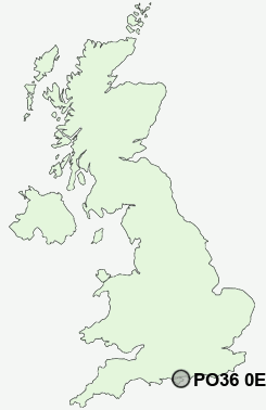
Postcode : PO36 0ED, Brading, Isle Of Wight, Isle Of Wight
Brading, Sandown, Isle of Wight.
PO36 0ED close to Brading and Yarbridge.
Classification
PO36 0ED : Suburbanites / Semi-detached suburbia / Older workers and retirement
Local Authority Isle of Wight
Primary Care Trust Isle of Wight National Health Service
Ward Brading, St Helens and Bembridge
Constituency Isle of Wight
Region South East
Country England
Postcode Area PO : Portsmouth
PO36 Postcode Sectors
PO36 9 Adgestone, Lake, Merrie Gardens, Sandown
PO36 0 Alverstone, Apse Heath, Brading, Branstone, Morton
PO36 0 Alverstone, Apse Heath, Brading, Branstone, Morton
PO36 0ED Nearby Postcode Districts
PO30 PO31 PO32 PO33 PO34 PO35 PO36 PO37 PO38 PO39 PO40 PO41
Stations near to PO36 0ED
Brading Rail Station about 0.34 miles away.Sandown Rail Station about 1.98 miles away.
Smallbrook Junction Rail Station about 2.03 miles away.
Lake (Isle of Wight) Rail Station about 2.71 miles away.
Ryde St Johns Road Rail Station about 2.94 miles away.
Shanklin Rail Station about 3.74 miles away.
PO36 0ED Schools
Brading Church of England Controlled Primary SchoolSt Helens Primary School
St John's Church of England Primary School Sandown
Sandown Church of England Primary School
Sandham Middle School
UK Search
Antique Furniture
1000s of pieces of Antique Furniture for sale from British antique dealers.