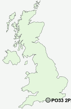
Postcode : PO33 2PZ, Ryde, Isle Of Wight, Isle Of Wight
John Street, Ryde, Isle of Wight.
PO33 2PZ close to Ryde, Pelhamfield, Oakfield, Weeks, Haylands and Appley.
Classification
PO33 2PZ : Constrained city dwellers / Challenged diversity / Hampered aspiration
Local Authority Isle of Wight
Primary Care Trust Isle of Wight National Health Service
Ward Ryde North West
Constituency Isle of Wight
Region South East
Country England
Postcode Area PO : Portsmouth
PO33 Postcode Sectors
PO33 1 Appley, Elmfield, Oakfield, Pondwell, St Helens
PO33 4 Ashey, Fishbourne, Havenstreet, Kite Hill, Littletown
PO33 4 Ashey, Fishbourne, Havenstreet, Kite Hill, Littletown
PO33 2PZ Nearby Postcode Districts
PO1 PO11 PO12 PO13 PO2 PO20 PO3 PO30 PO31 PO32 PO33 PO34 PO35 PO36 PO37 PO39 PO4 PO40 PO41 PO5 SO41 SO42
Stations near to PO33 2PZ
Ryde Esplanade Rail Station about 0.42 miles away.Ryde St Johns Road Rail Station about 0.44 miles away.
Ryde Pier Head Rail Station about 0.82 miles away.
Smallbrook Junction Rail Station about 1.25 miles away.
Brading Rail Station about 3.6 miles away.
PO33 2PZ Schools
Ryde School with Upper ChineDover Park Primary School
Ryde High School
Green Mount Primary School
Mayfield Church of England Voluntary Controlled Middle School
Swanmore Middle School
Haylands Primary School
St Mary's Catholic Primary School
Bishop Lovett Church of England Controlled Middle School, Ryde
Oakfield Church of England Aided Primary School, Ryde
Binstead Primary School
UK Search
Antique Furniture
1000s of pieces of Antique Furniture for sale from British antique dealers.