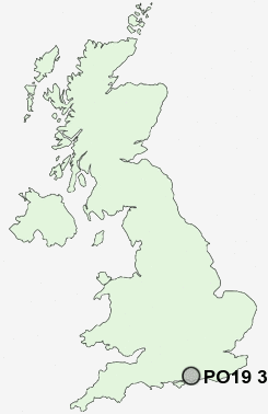
Postcode : PO19 3AG, The, Close, West Sussex
Durnford Close, Chichester.
PO19 3AG close to The, Close, Manor, The, Chichester and Whyke.
Classification
PO19 3AG : Constrained city dwellers / White communities / Outer city hardship
Local Authority Chichester
Primary Care Trust West Sussex
Ward Chichester West
Constituency Chichester
Region South East
Country England
Postcode Area PO : Portsmouth
PO19 Postcode Sectors
PO19 3AG Nearby Postcode Districts
BN12 BN13 BN16 BN17 BN18 PO1 PO10 PO11 PO12 PO13 PO16 PO17 PO18 PO19 PO2 PO20 PO21 PO22 PO3 PO4 PO5 PO6 PO7 PO8 PO9 RH20
Stations near to PO19 3AG
Chichester Rail Station about 0.67 miles away.Fishbourne Rail Station about 1.12 miles away.
PO19 3AG Schools
Parklands Community Primary SchoolLancastrian Infants' School
The Prebendal School
Jessie Younghusband Primary School
Chichester High School for Boys
Chichester High School for Girls
Portfield Community Primary School
Kingsham Primary School
Arabesque School of Performing Arts
Oakwood School
Lavant House
UK Search
Antique Furniture
1000s of pieces of Antique Furniture for sale from British antique dealers.