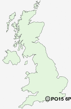
Postcode : PO15 6PH, Hampshire
Fareham, Hampshire.
PO15 6PH close to Hill Park, Heathfield, Catisfield, Lee Ground, Titchfield Park and Fareham.
Classification
PO15 6PH : Hard-pressed living / Migration and churn / Hard-Pressed European Settlers
Local Authority Fareham
Primary Care Trust Hampshire
Ward Fareham North-West
Constituency Fareham
Region South East
Country England
Postcode Area PO : Portsmouth
PO15 Postcode Sectors
PO15 6PH Nearby Postcode Districts
PO1 PO10 PO11 PO12 PO13 PO14 PO15 PO16 PO17 PO2 PO3 PO4 PO5 PO6 PO7 PO8 PO9 SO14 SO15 SO16 SO17 SO18 SO19 SO30 SO31 SO32 SO40 SO42 SO43 SO45
Stations near to PO15 6PH
Fareham Rail Station about 1.35 miles away.Swanwick Rail Station about 2.23 miles away.
PO15 6PH Schools
The Henry Cort Community CollegeOrchard Lea Infant School
Orchard Lea Junior School
Ranvilles Junior School
Ranvilles Infant School
Titchfield Primary School
Wallisdean Junior School
The Neville Lovett Community School and Continuing Education Centre
Harrison Primary School
UK Search
Antique Furniture
1000s of pieces of Antique Furniture for sale from British antique dealers.