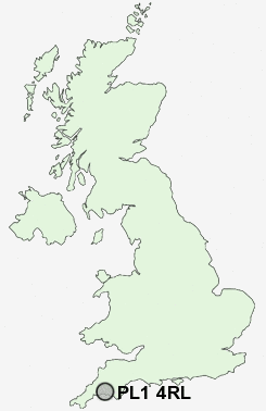
Postcode : PL1 4RL, Higher Larrick, Cornwall
Plymouth.
PL1 4RL close to Torpoint and Stonehouse.
Classification
PL1 4RL : Constrained city dwellers / Challenged diversity / Hampered aspiration
Local Authority Plymouth
Primary Care Trust Plymouth Teaching
Ward Devonport
Constituency Plymouth, Sutton and Devonport
Region South West
Country England
Postcode Area PL : Plymouth
PL1 Postcode Sectors
PL1 4RL Nearby Postcode Districts
PL1 PL10 PL11 PL12 PL13 PL14 PL2 PL21 PL3 PL4 PL5 PL6 PL7 PL8 PL9 TQ10 TQ7
Stations near to PL1 4RL
Devonport Rail StationDockyard (Plymouth) Rail Station about 0.31 miles away.
Keyham Rail Station about 0.86 miles away.
Plymouth Rail Station about 1.42 miles away.
St Budeaux Ferry Road Rail Station about 1.71 miles away.
St Budeaux Victoria Road Rail Station about 1.76 miles away.
Saltash Rail Station about 2.53 miles away.
PL1 4RL Schools
Parkside Community Technology CollegeStoke Damerel Primary School
Stoke Damerel Community College
Pilgrim Primary School
Montpelier Primary School
Devonport High School for Girls
South Trelawny Primary School
Plymouth High School for Girls
John Kitto Community College
UK Search
Antique Furniture
1000s of pieces of Antique Furniture for sale from British antique dealers.