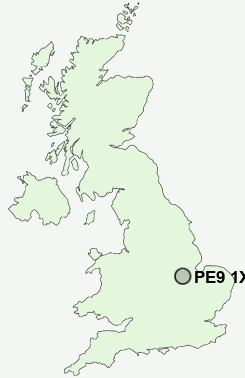
Postcode : PE9 1XF, Lincolnshire
Stamford, Lincolnshire.
Classification
PE9 1XF : Suburbanites / Semi-detached suburbia / White suburban communities
Local Authority South Kesteven
Primary Care Trust Lincolnshire Teaching
Ward Stamford St George's
Constituency Grantham and Stamford
Region East Midlands
Country England
Postcode Area PE : Peterborough
PE9 Postcode Sectors
PE9 3 Aldgate, Ashton, Bainton, Barnack, Collyweston
PE9 4 Aunby, Barholm, Belmesthorpe, Braceborough, Careby
PE9 4 Aunby, Barholm, Belmesthorpe, Braceborough, Careby
PE9 1XF Nearby Postcode Districts
Stations near to PE9 1XF
Stamford Rail Station about 1.13 miles away.PE9 1XF Schools
St George's Church of England Aided Primary SchoolThe Saint Augustine's Catholic Primary School, Stamford
Queen Eleanor Technology College
The Bluecoat School, Stamford
Stamford Endowed Schools
Stamford High School
Stamford St Gilberts Church of England Primary School
Stamford Junior School
The Uffington Church of England Primary School
Ryhall CofE Primary School
UK Search
Antique Furniture
1000s of pieces of Antique Furniture for sale from British antique dealers.