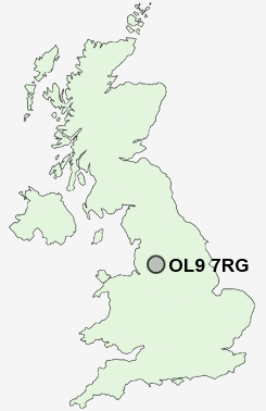
Postcode : OL9 7RG, Chadderton, Oldham, Greater Manchester
Sidmouth Street, Oldham.
OL9 7RG close to Werneth, Nimble Nook and Busk.
Classification
OL9 7RG : Multicultural metropolitans / Challenged Asian terraces / Pakistani communities
Local Authority Oldham
Primary Care Trust Oldham
Ward Werneth
Constituency Oldham West and Royton
Region North West
Country England
Postcode Area OL : Oldham
OL9 Postcode Sectors
OL9 7RG Nearby Postcode Districts
BL1 BL2 BL3 BL4 BL5 BL7 BL8 BL9 HD4 HD7 HD9 M1 M11 M12 M13 M14 M15 M16 M17 M18 M19 M2 M21 M24 M25 M26 M27 M28 M29 M3 M30 M32 M34 M35 M38 M4 M40 M41 M43 M44 M45 M46 M5 M6 M60 M7 M8 M9 OL1 OL10 OL11 OL12 OL16 OL2 OL3 OL4 OL5 OL6 OL7 OL8 OL9 SK13 SK14 SK15 SK16 WN7
Stations near to OL9 7RG
Moston Rail Station about 1.64 miles away.Mills Hill (Manchester) Rail Station about 1.77 miles away.
Ashton-under-Lyne Rail Station about 3.55 miles away.
OL9 7RG Schools
Stanley Road Primary SchoolWestwood Primary School
Richmond Primary School
Coppice Primary School
Yew Tree Community School
The Radclyffe School
Bare Trees Primary School
Burnley Brow Community School
Horton Mill Community Primary School
Beever Primary School
Medlock Valley Community School
UK Search
Antique Furniture
1000s of pieces of Antique Furniture for sale from British antique dealers.