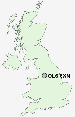
Postcode : OL6 8XN, Ashton-Under-Lyne, Tameside, Greater Manchester
Saint Albans Avenue, Ashton-under-Lyne.
OL6 8XN close to Hurst, Smallshaw, Alt Hill and Park Bridge.
Classification
OL6 8XN : Suburbanites / Suburban achievers / Indian tech achievers
Local Authority Tameside
Primary Care Trust Tameside and Glossop
Ward Ashton Hurst
Constituency Ashton-under-Lyne
Region North West
Country England
Postcode Area OL : Oldham
OL6 Postcode Sectors
OL6 8XN Nearby Postcode Districts
BL1 BL2 BL3 BL4 BL8 BL9 HD9 M1 M11 M12 M13 M14 M15 M16 M17 M18 M19 M2 M20 M21 M24 M25 M26 M27 M28 M29 M3 M30 M31 M32 M33 M34 M35 M38 M4 M40 M41 M43 M44 M45 M5 M6 M60 M7 M8 M9 OL1 OL10 OL11 OL2 OL3 OL4 OL5 OL6 OL7 OL8 OL9 SK13 SK14 SK15 SK16 SK4 SK5
Stations near to OL6 8XN
Ashton-under-Lyne Rail Station about 1.27 miles away.Mossley (Manchester) Rail Station about 1.79 miles away.
Stalybridge Rail Station about 1.86 miles away.
Guide Bridge Rail Station about 2.65 miles away.
Hyde North Rail Station about 3.02 miles away.
Flowery Field Rail Station about 3.22 miles away.
OL6 8XN Schools
Holden Clough Community Primary SchoolBroadoak Primary School
Waterloo Primary School
Medlock Valley Community School
The Heys Primary School
Livingstone Primary School
UK Search
Antique Furniture
1000s of pieces of Antique Furniture for sale from British antique dealers.