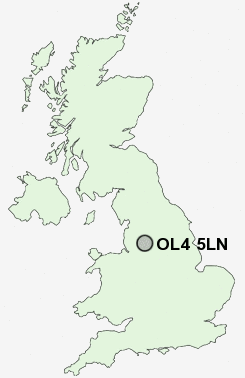
Postcode : OL4 5LN, Clarksfield, Oldham, Greater Manchester
Roundthorn Road, Oldham.
OL4 5LN close to Clarksfield, Glodwick, Moorhey, Lees, Springhead and Holts.
Classification
OL4 5LN : Hard-pressed living / Migration and churn / Hard-pressed ethnic mix
Local Authority Oldham
Primary Care Trust Oldham
Ward St Mary's
Constituency Oldham East and Saddleworth
Region North West
Country England
Postcode Area OL : Oldham
OL4 Postcode Sectors
OL4 3 Austerlands, Roebuck Low, Top o' th' Meadows, Wall Hill
OL4 5 Clarksfield, Glodwick, Grotton, Holts, Lees
OL4 2 Grains Bar, Greenacres, Moorside, Sholver, Spring Hill
OL4 5 Clarksfield, Glodwick, Grotton, Holts, Lees
OL4 2 Grains Bar, Greenacres, Moorside, Sholver, Spring Hill
OL4 5LN Nearby Postcode Districts
BL1 BL2 BL3 BL4 BL7 BL8 BL9 HD4 HD7 HD9 M1 M11 M12 M13 M14 M15 M16 M17 M18 M19 M2 M21 M24 M25 M26 M27 M28 M29 M3 M30 M32 M34 M35 M38 M4 M40 M41 M43 M44 M45 M5 M6 M60 M7 M8 M9 OL1 OL10 OL11 OL16 OL2 OL3 OL4 OL5 OL6 OL7 OL8 OL9 SK13 SK14 SK15 SK16 SK5
Stations near to OL4 5LN
Mossley (Manchester) Rail Station about 2.26 miles away.Ashton-under-Lyne Rail Station about 2.95 miles away.
Stalybridge Rail Station about 3.53 miles away.
OL4 5LN Schools
Alt Primary SchoolClarksfield Primary School
Horton Mill Community Primary School
Greenacres Primary School
Medlock Valley Community School
Beever Primary School
Coppice Primary School
Richmond Primary School
Holden Clough Community Primary School
UK Search
Antique Furniture
1000s of pieces of Antique Furniture for sale from British antique dealers.