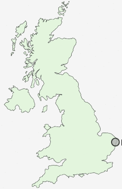
Postcode : NR33 9HN, Suffolk
Ranworth Avenue, Lowestoft.
NR33 9HN close to Kirkley, Carlton Colville and Pakefield.
Classification
NR33 9HN : Suburbanites / Semi-detached suburbia / Semi-detached ageing
Local Authority Waveney
Primary Care Trust Great Yarmouth and Waveney
Ward Whitton
Constituency Waveney
Region Eastern
Country England
Postcode Area NR : Norwich
NR33 Postcode Sectors
NR33 8 Black Street, Carlton Colville, Gisleham, Rushmere, Toad Row
NR33 7 Kessingland, Kessingland Beach, Kirkley, Pakefield
NR33 7 Kessingland, Kessingland Beach, Kirkley, Pakefield
NR33 9HN Nearby Postcode Districts
Stations near to NR33 9HN
Oulton Broad South Rail Station about 0.46 miles away.Oulton Broad North Rail Station about 0.98 miles away.
Lowestoft Rail Station about 1.72 miles away.
NR33 9HN Schools
Dell Primary SchoolWhitton Green Community Primary School
Grove Primary School
Meadow Community Primary School
Pakefield Primary School
Fen Park Community Primary School
Roman Hill Primary School
Carlton Colville Primary School
Woods Loke Community Primary School
UK Search
Antique Furniture
1000s of pieces of Antique Furniture for sale from British antique dealers.