Postcode : NR13 4RH, Blofield, Norfolk
Blofield, Norwich, Norfolk.
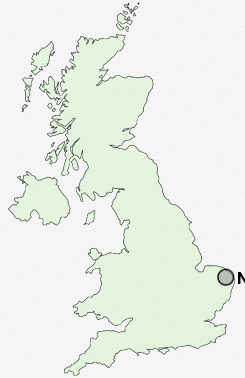
NR13 4RH close to Blofield and Hemblington Corner.
Classification
NR13 4RH : Suburbanites / Semi-detached suburbia / Older workers and retirement
Local Authority Broadland
Primary Care Trust Norfolk
Ward Blofield with South Walsham
Constituency Broadland
Region Eastern
Country England
Postcode Area NR : Norwich
NR13 Postcode Sectors
NR13 3 Acle, Beighton, Cantley, Cucumber Corner, Damgate
NR13 4 Blofield, Blofield Heath, Buckenham, Burlingham Green, Hassingham
NR13 4 Blofield, Blofield Heath, Buckenham, Burlingham Green, Hassingham
NR13 5 Brundall, Great Plumstead, Little Plumstead, Postwick, Thorpe End
NR13 6 Fishley, New Rackheath, Panxworth, Pilson Green, Primrose Corner
NR13 6 Fishley, New Rackheath, Panxworth, Pilson Green, Primrose Corner
NR13 4RH Nearby Postcode Districts
NR1 NR10 NR13 NR14 NR18 NR2 NR29 NR3 NR30 NR31 NR4 NR5 NR6 NR8 NR9
Stations near to NR13 4RH
Brundall Rail Station about 1.28 miles away.Brundall Gardens Rail Station about 1.55 miles away.
Lingwood Rail Station about 2.07 miles away.
Buckenham Rail Station about 2.9 miles away.
NR13 4RH Schools
Blofield Primary SchoolHemblington Primary
Brundall Primary School
Little Plumstead Church of England Primary School
Lingwood First and Nursery School
UK Search
Antique Furniture
1000s of pieces of Antique Furniture for sale from British antique dealers.