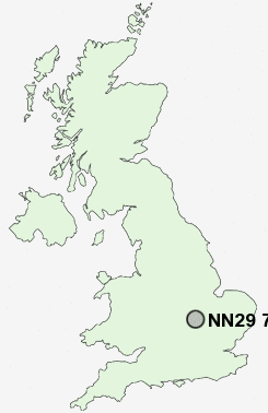
Postcode : NN29 7PH, Northamptonshire
Wollaston, Wellingborough, Northamptonshire.
NN29 7PH close to Wollaston, Farndish and Strixton.
Classification
NN29 7PH : Suburbanites / Semi-detached suburbia / White suburban communities
Local Authority Wellingborough
Primary Care Trust Northamptonshire Teaching
Ward Wollaston
Constituency Wellingborough
Region East Midlands
Country England
Postcode Area NN : Northampton
NN29 Postcode Sectors
NN29 7PH Nearby Postcode Districts
MK44 NN1 NN10 NN2 NN29 NN3 NN4 NN5 NN6 NN7 NN8 NN9
Stations near to NN29 7PH
Wellingborough Rail Station about 3.3 miles away.NN29 7PH Schools
Wollaston SchoolWollaston Community Primary School
Christopher Reeves CofE VA Primary School
Irchester Community Primary School
UK Search
Antique Furniture
1000s of pieces of Antique Furniture for sale from British antique dealers.