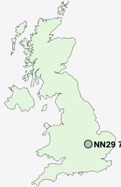
Postcode : NN29 7AZ, Irchester, Northamptonshire
School Lane, Irchester, Wellingborough.
NN29 7AZ close to Irchester and Knuston.
Classification
NN29 7AZ : Hard-pressed living / Hard pressed ageing workers / Ageing industrious workers
Local Authority Wellingborough
Primary Care Trust Northamptonshire Teaching
Ward Irchester
Constituency Wellingborough
Region East Midlands
Country England
Postcode Area NN : Northampton
NN29 Postcode Sectors
NN29 7AZ Nearby Postcode Districts
MK44 NN1 NN10 NN2 NN29 NN3 NN4 NN5 NN6 NN7 NN8 NN9 PE19
Stations near to NN29 7AZ
Wellingborough Rail Station about 1.95 miles away.NN29 7AZ Schools
Irchester Community Primary SchoolWhitefriars Primary School
Whitefriars Junior School
Tennyson Road Infant School
Wollaston School
UK Search
Antique Furniture
1000s of pieces of Antique Furniture for sale from British antique dealers.