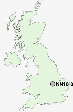
Postcode : NN18 0LJ, Northamptonshire
Farmstead Road, Corby.
Classification
NN18 0LJ : Constrained city dwellers / Challenged diversity / Transitional Eastern European neighbourhood
Local Authority Corby
Primary Care Trust Northamptonshire Teaching
Ward Beanfield
Constituency Corby
Region East Midlands
Country England
Postcode Area NN : Northampton
NN18 Postcode Sectors
NN18 0LJ Nearby Postcode Districts
LE16 LE18 LE8 NN14 NN16 NN17 NN18 PE5 PE8
Stations near to NN18 0LJ
Corby Rail Station about 1.64 miles away.NN18 0LJ Schools
Beanfield Primary SchoolHazel Leys Nursery and Primary School
Corby Kingswood Primary School
Woodnewton- A Learning Community
Danesholme Infant School
Danesholme Junior School
Studfall Junior School
Exeter Primary School
Studfall Infant School and Nursery
Brooke Weston CTC
Rockingham Primary School
UK Search
Antique Furniture
1000s of pieces of Antique Furniture for sale from British antique dealers.