Postcode : NG7 6ND, Nottingham, Nottinghamshire
Nottingham, Nottinghamshire.
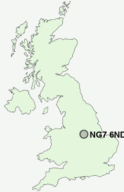
NG7 6ND close to Nottingham, Radford and New Basford.
Classification
NG7 6ND : Multicultural metropolitans / Challenged Asian terraces / Asian terraces and flats
Local Authority Nottingham
Primary Care Trust Nottingham City
Ward Berridge
Constituency Nottingham East
Region East Midlands
Country England
Postcode Area NG : Nottingham
NG7 Postcode Sectors
NG7 6ND Nearby Postcode Districts
DE1 DE21 DE22 DE23 DE24 DE3 DE5 DE56 DE7 DE72 DE75 NG1 NG10 NG11 NG12 NG13 NG14 NG15 NG16 NG2 NG3 NG4 NG5 NG6 NG7 NG8 NG9
Stations near to NG7 6ND
Nottingham Rail Station about 1.55 miles away.Bulwell Rail Station about 2.63 miles away.
Beeston Rail Station about 3.67 miles away.
NG7 6ND Schools
Djanogly City AcademyDjanogly City Academy
Whitemoor Primary and Nursery School
Southwold Primary School and Early Years' Centre
Walter Halls Primary and Early Years School
Southwark Primary School
Riverside Primary School and Early Years Unit
UK Search
Antique Furniture
1000s of pieces of Antique Furniture for sale from British antique dealers.