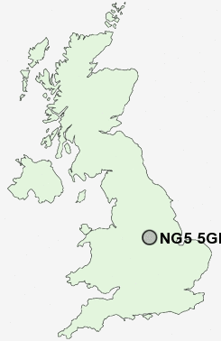
Postcode : NG5 5GH, Top Valley, Nottingham, Nottinghamshire
Padstow Road, Nottingham.
NG5 5GH close to Top Valley and Bestwood.
Classification
NG5 5GH : Hard-pressed living / Migration and churn / Hard-pressed ethnic mix
Local Authority Nottingham
Primary Care Trust Nottingham City
Ward Bestwood
Constituency Nottingham North
Region East Midlands
Country England
Postcode Area NG : Nottingham
NG5 Postcode Sectors
NG5 5GH Nearby Postcode Districts
DE1 DE21 DE22 DE23 DE3 DE5 DE56 DE7 DE75 NG1 NG10 NG11 NG12 NG13 NG14 NG15 NG16 NG2 NG24 NG25 NG3 NG4 NG5 NG6 NG7 NG8 NG9
Stations near to NG5 5GH
Bulwell Rail Station about 1.06 miles away.Hucknall Rail Station about 3.07 miles away.
Nottingham Rail Station about 3.56 miles away.
NG5 5GH Schools
Henry Whipple Primary SchoolRobin Hood Primary School
Southglade Primary School
Westglade Primary School
Southwark Primary School
Northgate Primary and Nursery School
Whitemoor Primary and Nursery School
Ambleside Primary School
UK Search
Antique Furniture
1000s of pieces of Antique Furniture for sale from British antique dealers.